

Our research infrastructure supports the delivery of innovative, internationally competitive research that is central to our vitality.
Our facilities are continuously renewed by external grants and through targeted institutional funding to support our research strategy.
Below is a summary of our key research facilities.
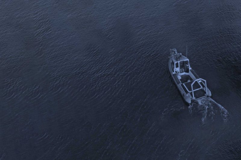
Bespoke state-of-the-art inshore vessel
In 2019, Ulster University prioritised £176k of DfE Higher Education Research Capital (HERC) funds and an additional £157k of institutional funding to purchase a bespoke state-of-the-art inshore vessel to strategically support CESDA’s ambitions to conduct multidisciplinary science at sea.
The new vessel has hydraulic gantry for launch and recovery of equipment, a RESON SeaBat 7125 multibeam echosounder and inspection class ROVs for high-resolution seabed mapping and hydrographic surveying in UK and Irish waters.
High Performance Computing (HPC) facility
We have developed a High Performance Computing (HPC) facility which supports significant model-based analyses of earth surface and oceanographic processes and patterns, including computational fluid dynamics (CFD), image based analysis and species distribution modelling.
Water chemistry facilities
Our water chemistry facilities include UV-VIS photometry, fluorescence spectrometry, DOC analysis and ion chromatography.
Microbiological analysis
We have provision for microbiological analysis, with climate cabinets and chambers available for temperature controlled experiments. Facilities for sediment analysis include equipment for freeze-drying, sieving, optical grainsize analysis, measurement of settling velocities and basic thermal analysis.
Our microscope suite has research grade dissection microscopes with computer aided image analysis and an inverted microscope for phytoplankton analysis. Scanning electron microscopy and fluorescence microscopy facilities are also available on campus.
High-resolution field equipment
We operate a suite of high-resolution field equipment for the investigation of urban, terrestrial, freshwater and marine environments. Survey platforms include GPS-enabled quad bikes, boats, quadcopter and fixed-wing drones mounted with various environmental sensors.
Laser scanners
We operate two laser scanners; one for high-definition imaging of terrestrial environments and the other for underwater investigations.
Coastal survey equipment suite
A £240,000 NERC-funded coastal survey equipment suite includes 18 load cell sediment traps, 16 audio impact sensors and 24 ultrasonic anemometers.
Monitoring and sensing suites
A dedicated £300,000 marine and freshwater acoustic remote sensing suite includes a multi-frequency ground penetrating radar, echosounders, chirp and boomer seismic profilers and sidescan sonar.
An instrumentation suite for high-resolution freshwater monitoring includes phosphorous and nitrate analyzers and multi-parameter water quality sondes.
Memberships
We are a member of the National Oceanography Centre Association, with representation on the NERC Marine Facilities Advisory Board.
We are also actively engaged with the National Marine Equipment Pool through the Marine Institute as an initiative to share access to specialist marine facilities and expertise across the island of Ireland.
Facilities Grants Awarded
Recent facilities grants awarded to staff demonstrate our applied research strengths.
These include grants awarded by NERC, the EU and the Marine Institute in this REF period:
Projects
- Underwater Laser Scanner - understanding the structure and function of seafloor habitats and communities
- PANTHER: PANtelleria High-energy ERuptions from marine studies
- The Newfoundland Ice Sheet Glaciated Shelf
- Investigating environmental and anthropogenic impacts on coastal dune field evolution in Sefton, northwest England
- WW1 shipwrecks in the Irish Sea
- Unlocking the storm secrets of Atlcntic sand dunes - GPR imaging of inland storm scarps
- Timing, forcing and onshore-offshore correlation of the western margin of the British-Irish Ice Sheet